Clear Sky ChartTop Sponsors
All Sponsors Be a Sponsor
ContentsFind a chartNews (April 5) Meet the Perps Coverage Map Your own chart Silly Files (Jan 5) Boring Admin Stuff -Terms of Use -Copyright -Privacy -Advertising Credits How to Help Contacts
Related Sites
|
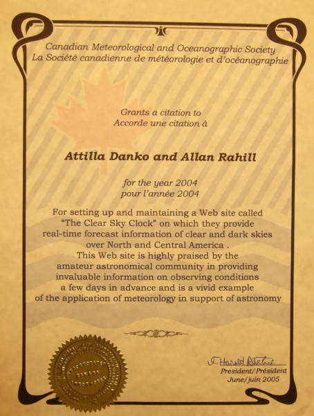
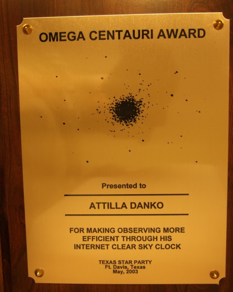
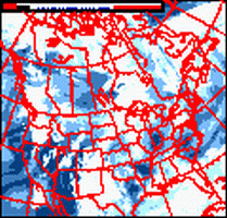
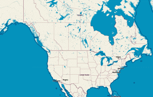
What is it?Created by the late Attilla Danko and maintained for now by his widow at CSCCharts, it's the astronomers forecast. It shows at a glance when, in the next 96 hours, we might expect clear and dark skies for one specific observing site. There are many, but the example above is for ().It's is specifically intended for amateur astronomers. The data comes a forecast model developed by Allan Rahill of the Canadian Meteorological Center. Read from left to right. Locate a column of blue blocks. That's when the sky will likely to be clear and dark. A more detailed explanation is here, but the short version is: the clear sky chart predicts hourly cloud cover, atmospheric transparency and seeing. (Good "seeing" occurs when the air is steady enough to allow you to see fine detail on planets through a telescope.) That means you can plan whether to observe galaxies or planets or stay home and process image data. Are there Charts for other locations?Yes, thousands. The coverage area is Canada, USA and parts of Mexico.
May I get my own Chart?If you observe at a site more than 24km or 15 miles from an existing chart site, feel free to request a chart for it. You can find the closest chart site to a latitude/longitude here. I can generate charts for almost anywhere in Canada and US. See the coverage map. To ask for a CSC, email CSCCharts (Attilla Danko or a colleague) with:
For towns, use heavens-above.com. For other sites, use Google Maps: zoom in on your site, then click on "link to this page" and email me the resulting url. I reserve the right to offer you a different chart that is still close enough to give maximally accurate forecasts. There is no cost. But you're welcome to sponsor.
| ||||||||||||||||||||||||||||||||||||||||||||||||||||||||||||||||||||||||||||||||||||||||||||||||||||||||||||||||||||||||||||||||||||||||||||||||||||||||||||||||||||||||||||||||||||||||||||||||||||||||||||||||||||||||||||||||||||||||||||||||||||||||||||||||||||||||||||||||||||||||||||||||||||||||||||


Copyright © 2026 Attilla Danko. Page updated 2026-07-08 01:00:43UT on server1.